How to See Elevation on Google Maps
Google Maps has a Terrain layer that shades the land and draws contour lines with heights. Search for a mountain area, turn Terrain on in Layers, and zoom in until the elevation lines appear.
- SystemWindows (browser)
- AppGoogle Maps web app
- Last verifiedNovember 19, 2026
Every screenshot below is taken from the actual recording on this device — no stock images.
Steps
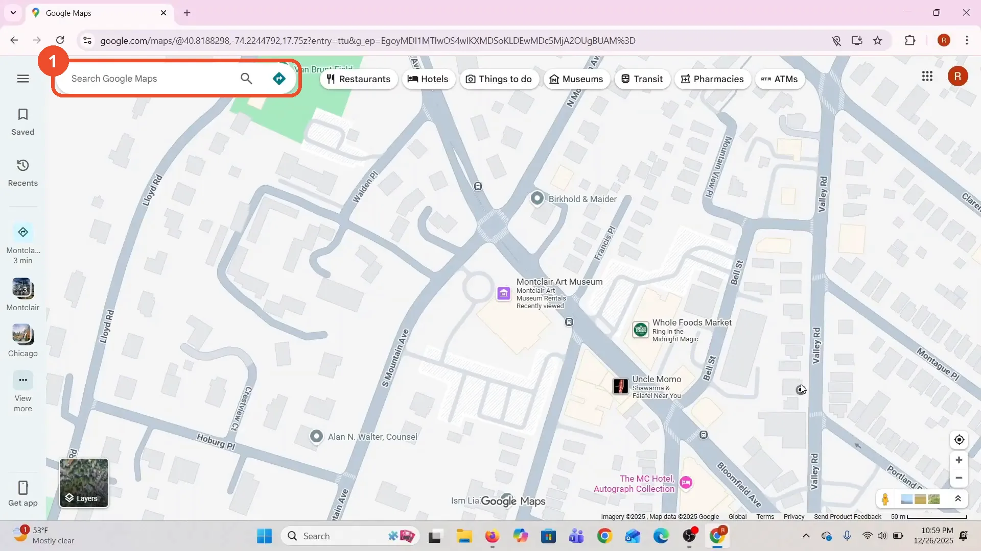
Open Google Maps
Open Google Maps in your browser. The film opens on a street map of the operator’s area.
Search for the location
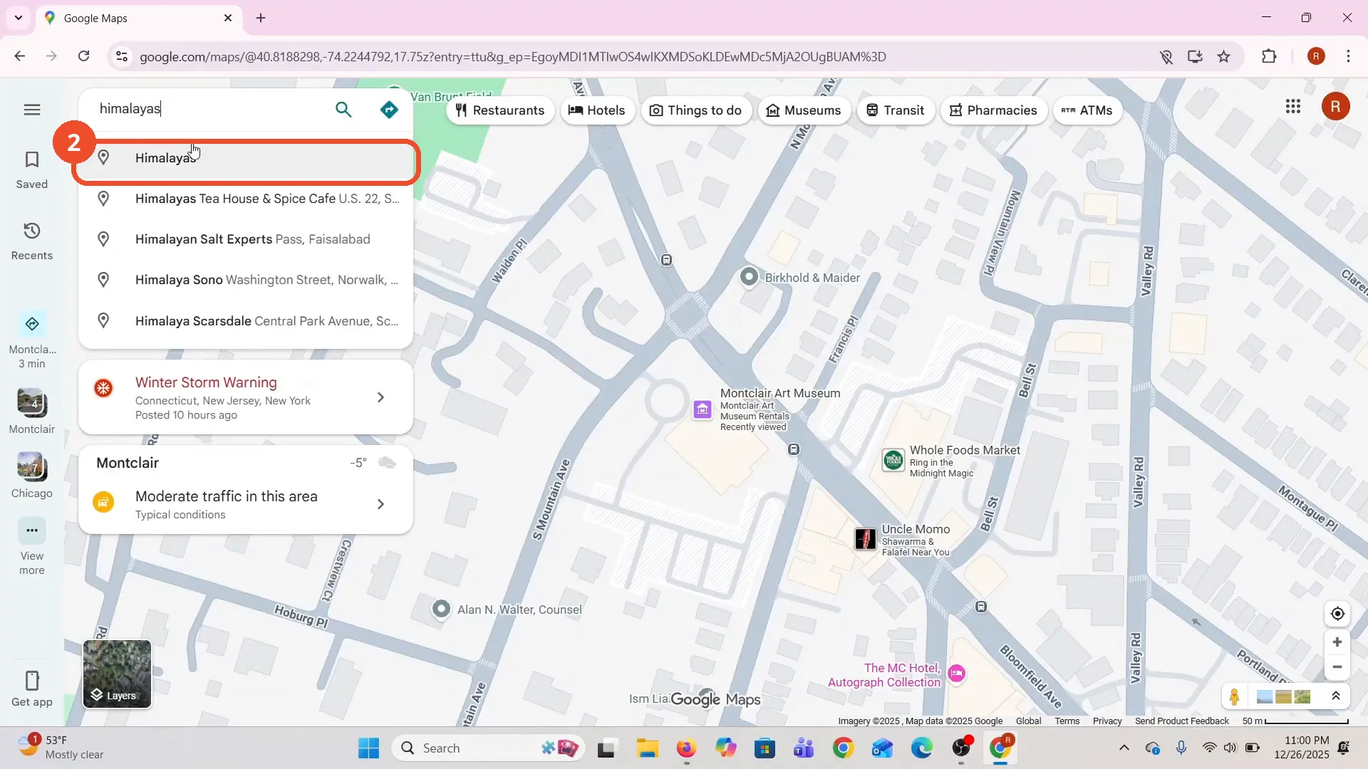
Click the search box, type the place you want to check — the film types “himalayas” — and pick it from the suggestions.
Zoom in on the result
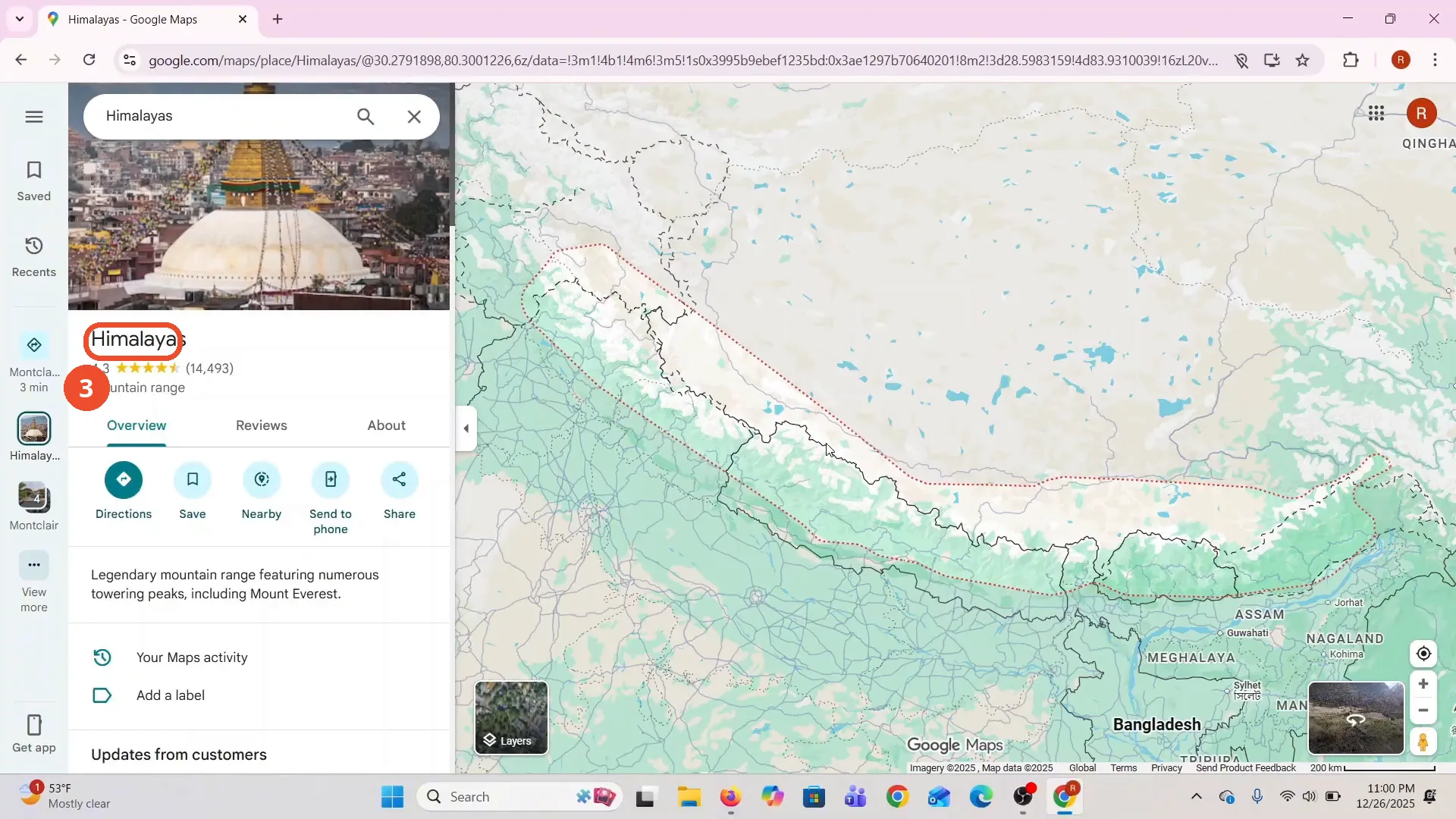
Google Maps jumps to the place and shows its card. Zoom in toward the mountains; the elevation view only appears at closer zooms.
Open Layers and turn on Terrain
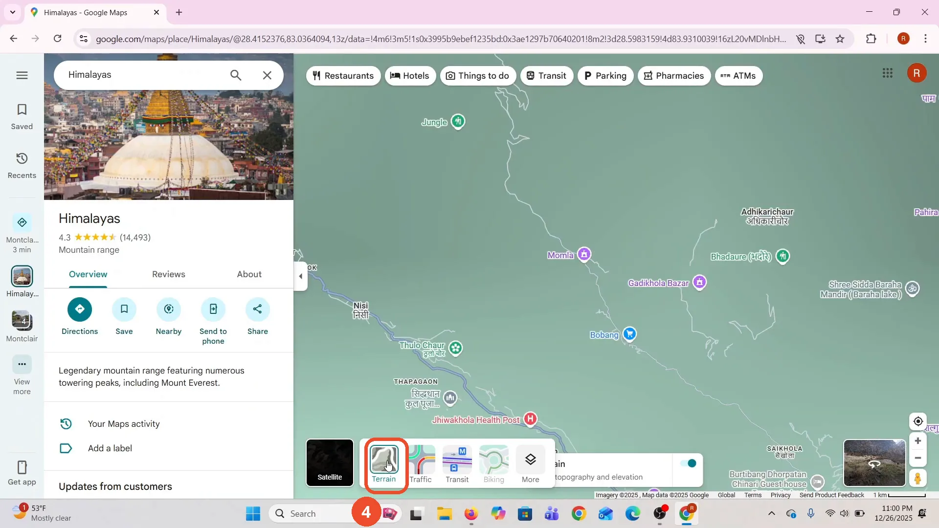
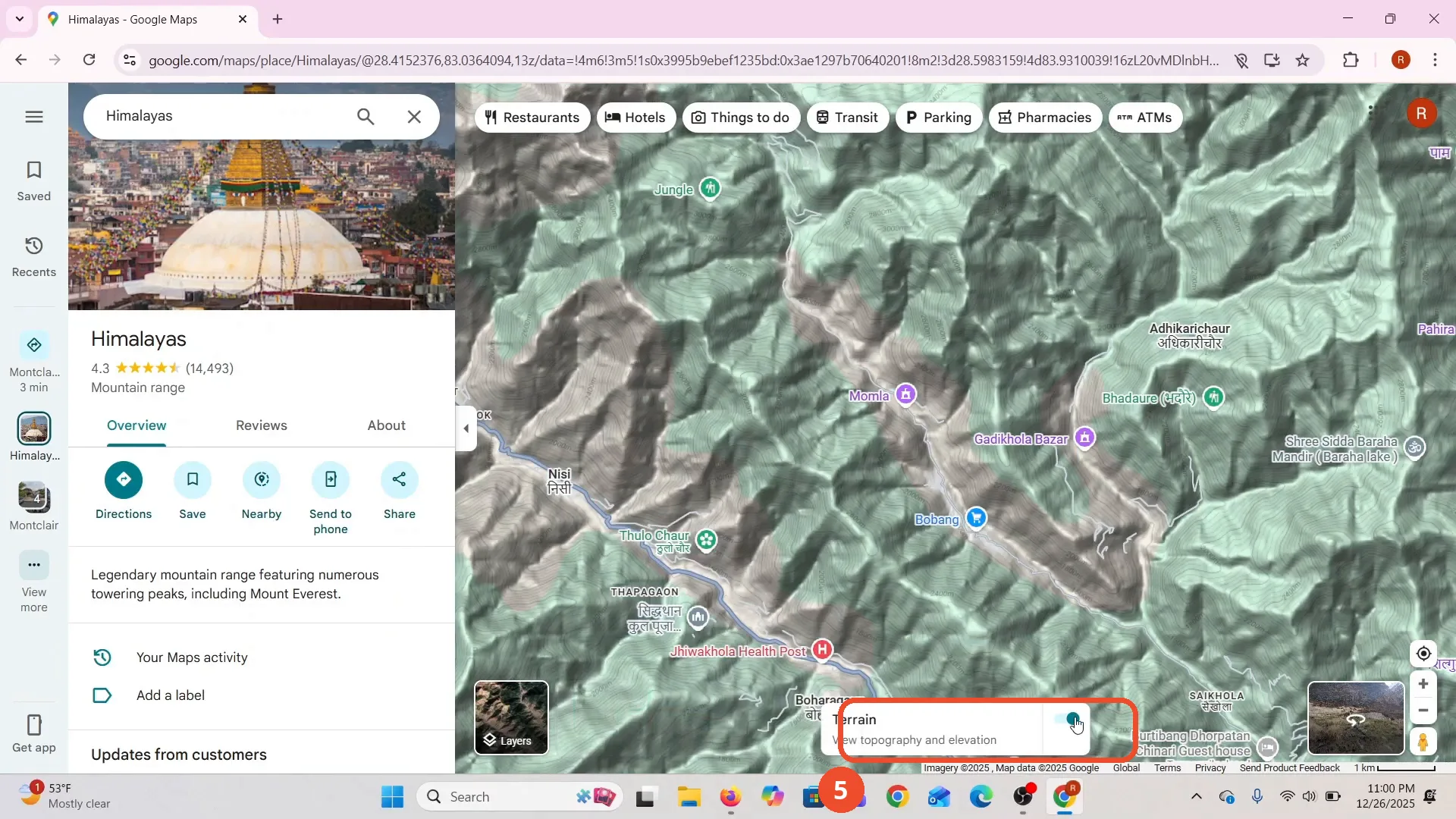
Click Layers at the bottom left, then pick Terrain. The map switches to shaded relief, and a Terrain toggle appears at the bottom right.
Toggle Terrain on and off
Use the Terrain switch at the bottom right to turn the elevation shading off and on. The film switches it off and straight back on.
Zoom in to read the elevation lines
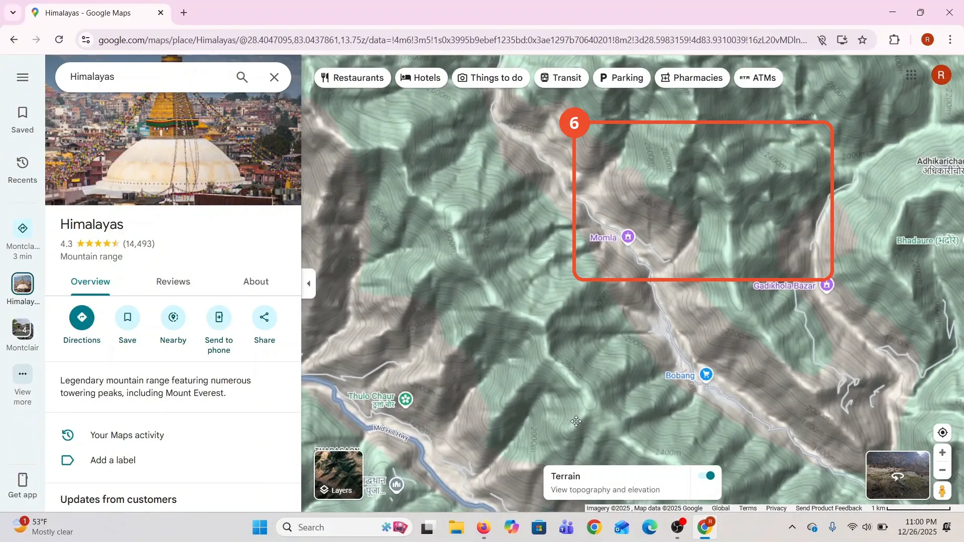
Zoom in until the contour lines and height labels appear — the film’s map shows 2,000 m, 2,200 m, and 2,400 m lines across the ridges. Do not zoom in too far: the elevation shading stops being useful at the closest zooms.
Good to know
- Terrain is a map style in the Layers panel, not a search feature — the map has to be zoomed in before the contour lines show.
- The film also opens the satellite view briefly while looking for the Layers panel; the elevation view comes from the Terrain style, not satellite.
- The film’s opening frames show the operator’s saved home address in the recent-searches list; the steps here start from the search for the Himalayas instead, so no home address appears in the screenshots.
- The narration warns against zooming in too much — at the closest zooms the elevation lines stop displaying clearly.
More on Google Maps
- How to Fix Blank Google Maps in Firefox
- How to Track Family Members on Google Maps
- How to Get Compass on Google Maps
- How to Change Routes in Google Maps
- How to Change the Year in Google Maps and View Past Locations
- How to Change Google Maps from Walking to Driving
- How to Pin Multiple Locations on Google Maps
- How to Remove Labels from Google Maps
- How to Create a Walking Route on Google Maps
- How to Change Vehicle Icon on Google Maps
- How to Delete Saved Trips on Google Maps