How to Create a Walking Route on Google Maps
Google Maps does not draw a custom walking route in its directions. The route is built in My Maps, a separate map editor that saves to your Google Drive. This tutorial follows the film exactly: open Saved, then Maps, create a map, and draw the walking route around Columbus Park in Chicago.
- SystemWindows (browser)
- AppGoogle Maps web app
- Last verifiedNovember 16, 2026
Every screenshot below is taken from the actual recording on this device — no stock images.
Steps
Open Google Maps
Open Google Maps in a desktop browser. The film opens the satellite view of Washington, DC.
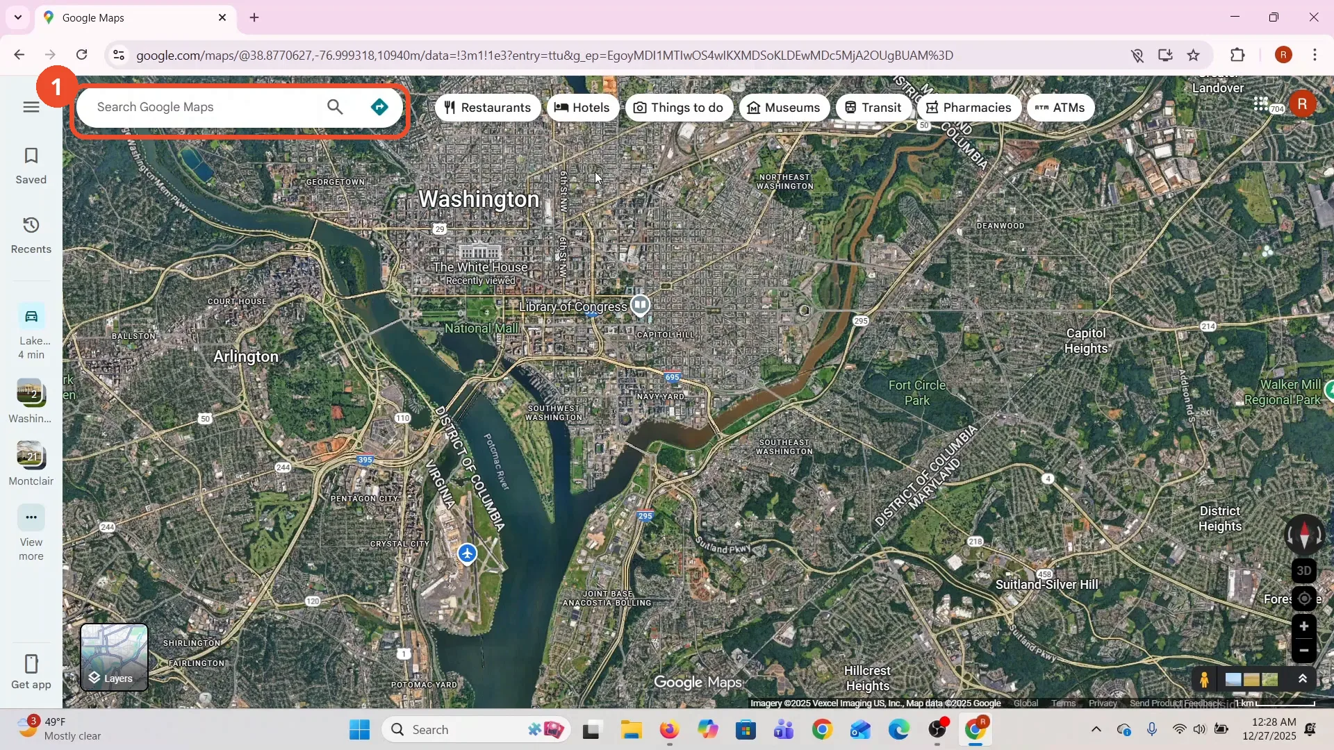
Click Save in the left sidebar
In the left sidebar, click Save, the bookmark icon. The Saved panel opens with your lists.
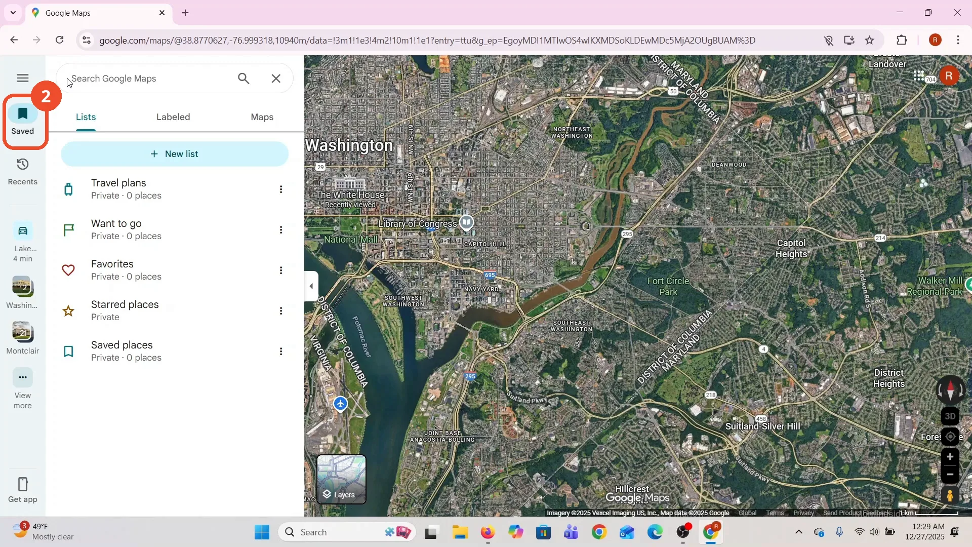
Click the Maps tab
In the Saved panel, click the Maps tab, the third tab next to Lists and Labelled.
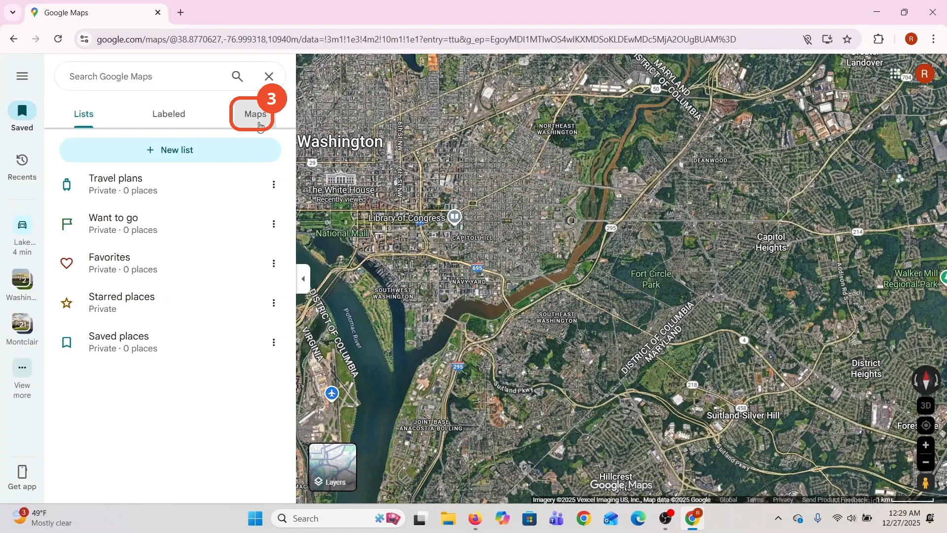
Click CREATE MAP
At the bottom of the Maps tab, click CREATE MAP.
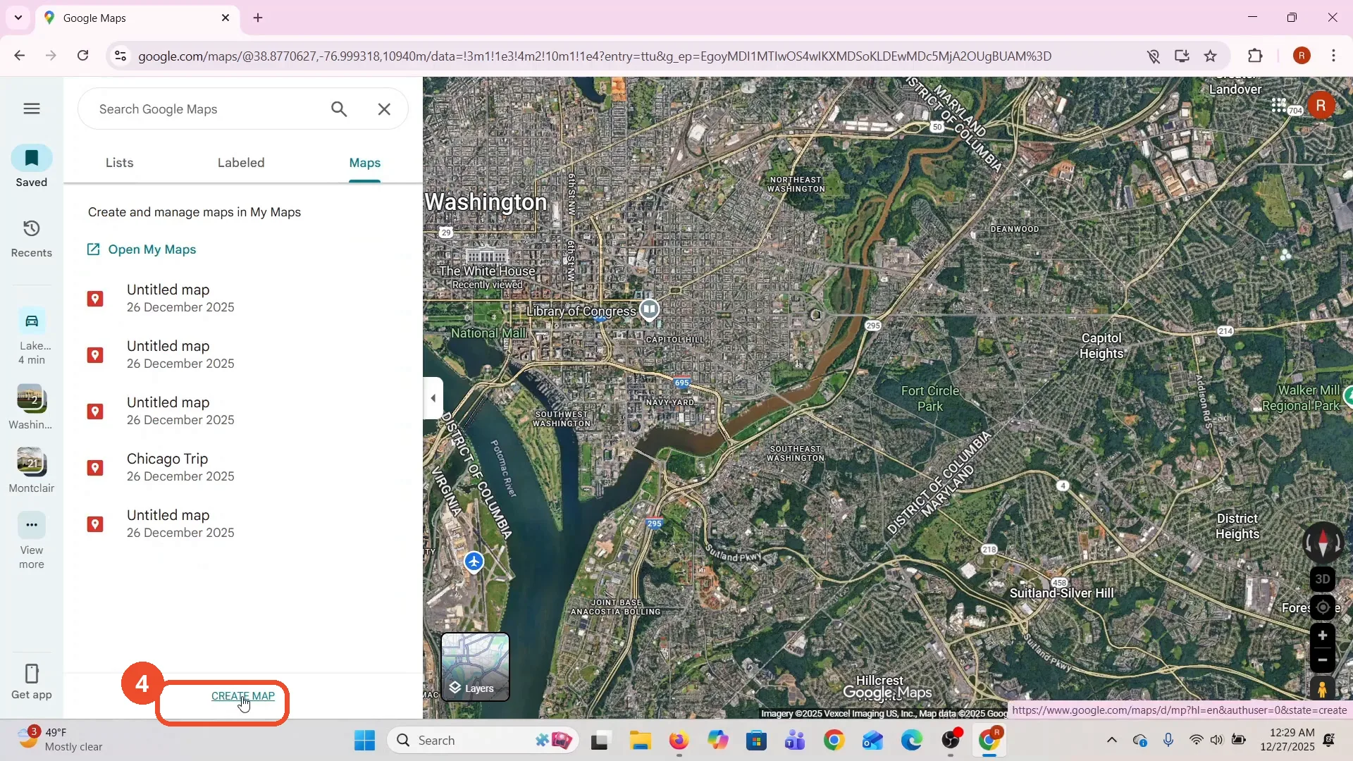
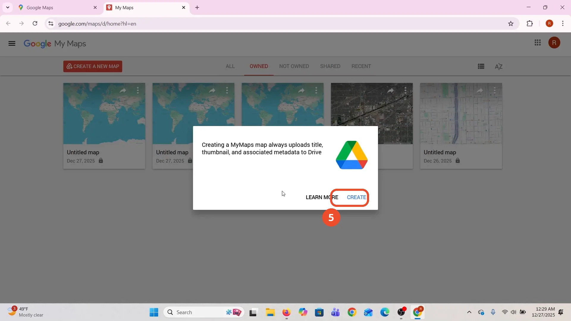
Click Create in the popup
A new tab opens to My Maps and a popup says creating a MyMaps map uploads its title, thumbnail and metadata to Drive. Click CREATE.
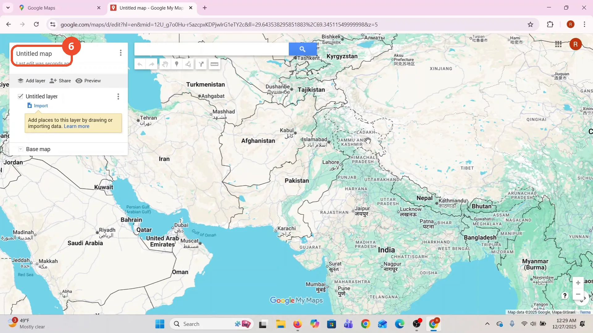
Wait for your My Map to open
Your new My Map opens, an “Untitled map” over a world map. This is My Maps, not Google Maps directions: the route is built and saved here.
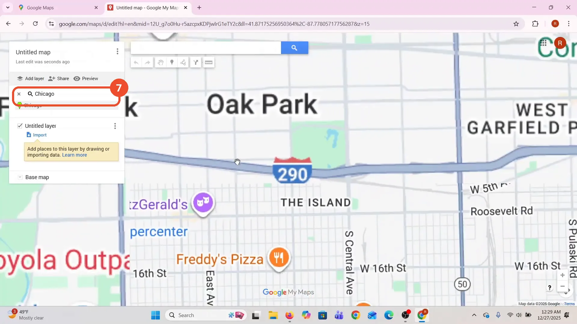
Search for Chicago
Search for the place you want to walk in. The film types Chicago and picks it from the results, and the map zooms to Chicago, Oak Park.
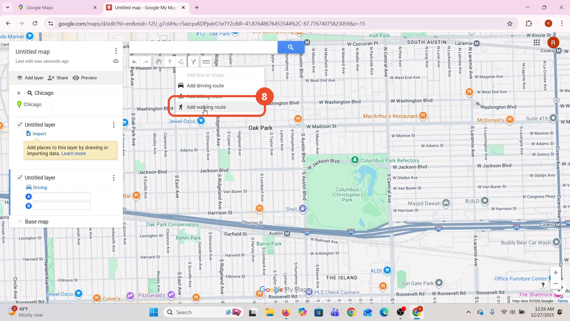
Click Draw a line, then Add walking route
Click Draw a line in the toolbar, then click Add walking route in the menu that opens.
Click each point of the route
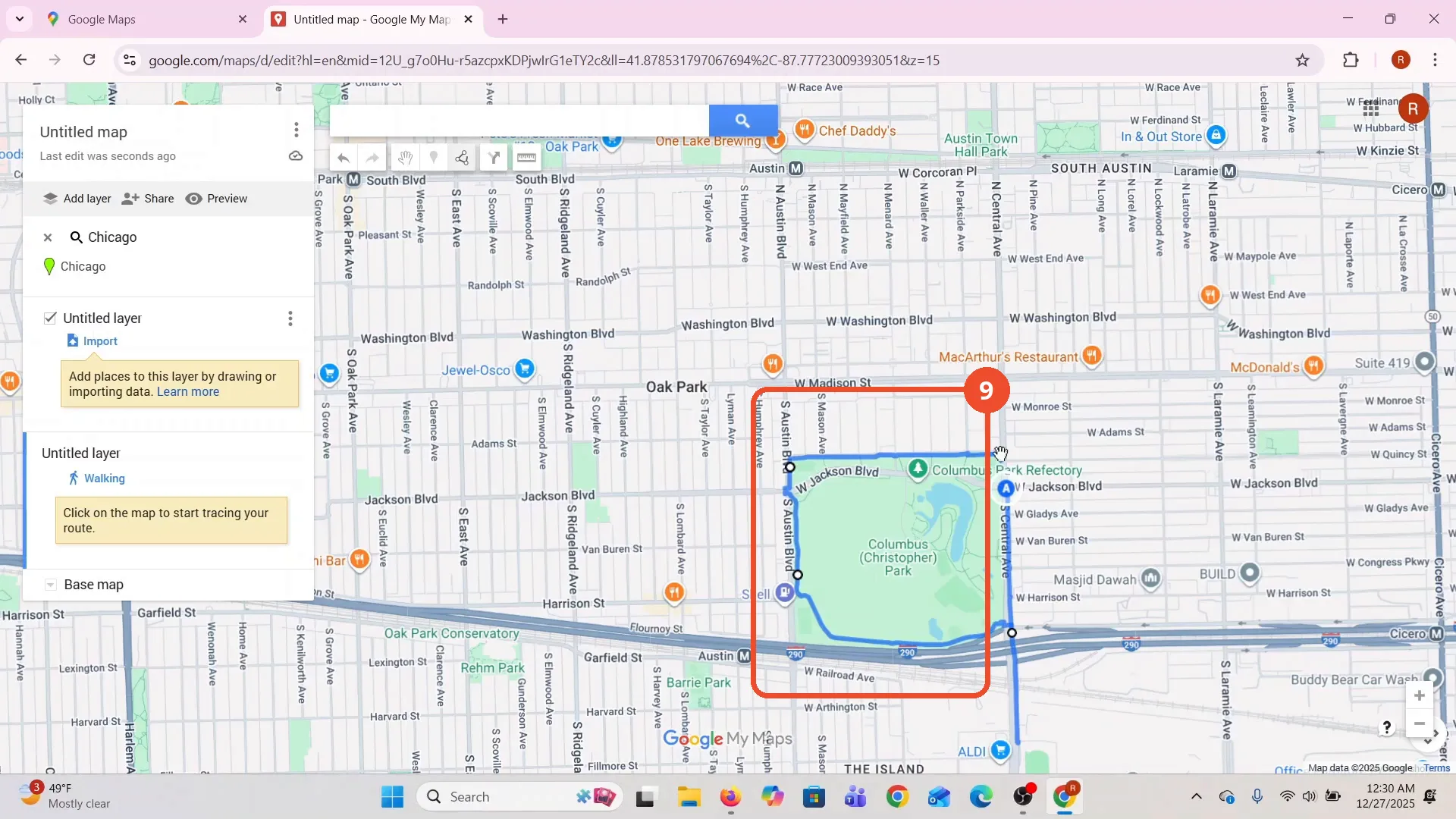
Click the start point on the map, then click each next point along the streets you want to walk. A blue line follows your clicks around the park.
Check the finished route
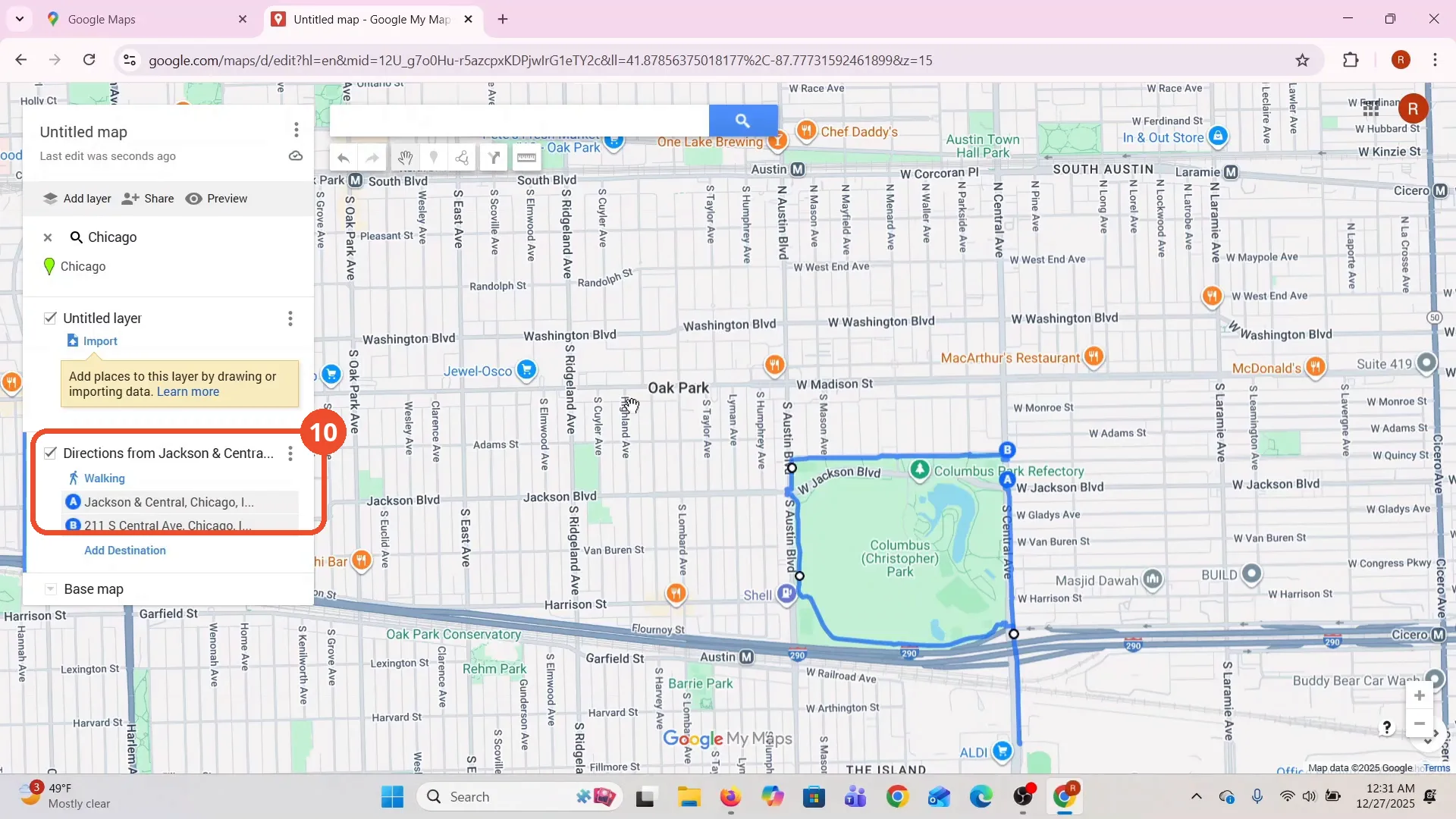
When you click the last point, the route closes. The left panel shows “Directions from Jackson & Central…” with the start and end points. The film says the distance is shown in My Maps, but no distance number is readable on camera.
Good to know
- The route is built in My Maps, not in Google Maps directions. The video title says “on Google Maps”, but every click after opening Maps happens in My Maps, which saves the map to Google Drive.
- The film’s map list already holds a “Chicago Trip” map from 26 December 2025 plus three untitled maps. The new map is a separate “Untitled map”.
- The route runs from Jackson & Central to 211 S Central Ave, around Columbus Park in Chicago (Oak Park).
- The film says the walking distance is shown in My Maps, but no distance number is readable on camera. The panel lists only the start and end points.
- The “Create a My Map” popup warns that creating a map uploads its title, thumbnail and metadata to Drive. Click Create to continue.
- The film zooms the map to Chicago before drawing. Pick your own place the same way.